Reasoning in Large-Scale Urban Areas
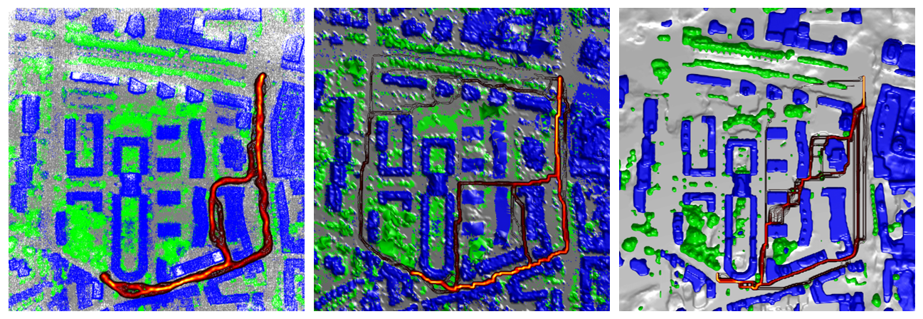
Urban scene modeling from images has reached remarkable achievements in recent years. In the computer vision, photogrammetry and remote sensing domain techniques prevalently focus on visualization and reconstruction. Further down the line, the utility of virtual city models extends beyond their visual and geometric quality. Thus, such models should enable adequate scene study on the application front. In this project, we analyze different types of representations for their utility to perform a diverse set of reasoning tasks such as navigation (see figure).
Figure Caption:
Path distributions for three different types of representations.
Contact:
- Maros Blaha (ETH Zurich): external pagehttp://www.marosblaha.com/
- Randi Cabezas (MIT Boston): external pagehttp://people.csail.mit.edu/rcabezas/